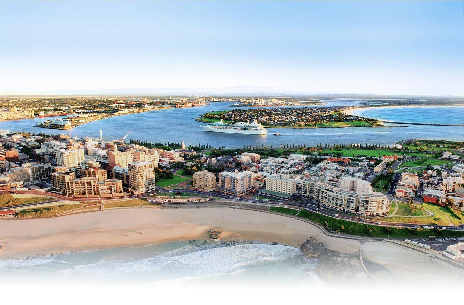
Newcastle Foreshore Precinct
Newcastle Foreshore is an 11-hectare regional level park bordering the harbour, beaches and culturally significant sites like Fort Scratchley, the convict lumberyard and Customs House. Most of the park sits on reclaimed land previously used for mining, shipping, harbour activities, power supply, bond storage and rail marshalling yards.
Its current form opened in 1988, coinciding with Australia's bicentenary celebrations. Now, 30 years on from the opening, plans are underway to ensure it best suits the changing needs of the community.
Work is underway to reinvigorate this important community precinct, including a new inclusive playspace that will be developed with our Partner, Touched by Olivia. View our project page for the latest updates.
Tree replanting program
Work began in May 2018 on a staged tree replanting program which will create 20 times more usable shade across the precinct. Initial works comprised excavation of holes near the Nobbys Road/Wharf Road roundabout to accommodate 12 mature Norfolk Island pines, each measuring 6-9m in height.
Their planting will represent the first stage of a plan to introduce mature Norfolk Island pines, broad-leaved lilly pillies, coastal banksias, native hibiscuses and kentia palms throughout the Foreshore precinct.
Once fully grown, the trees will provide about 9,800sqm of usable shade. See diagram below for planned Stage One planting locations: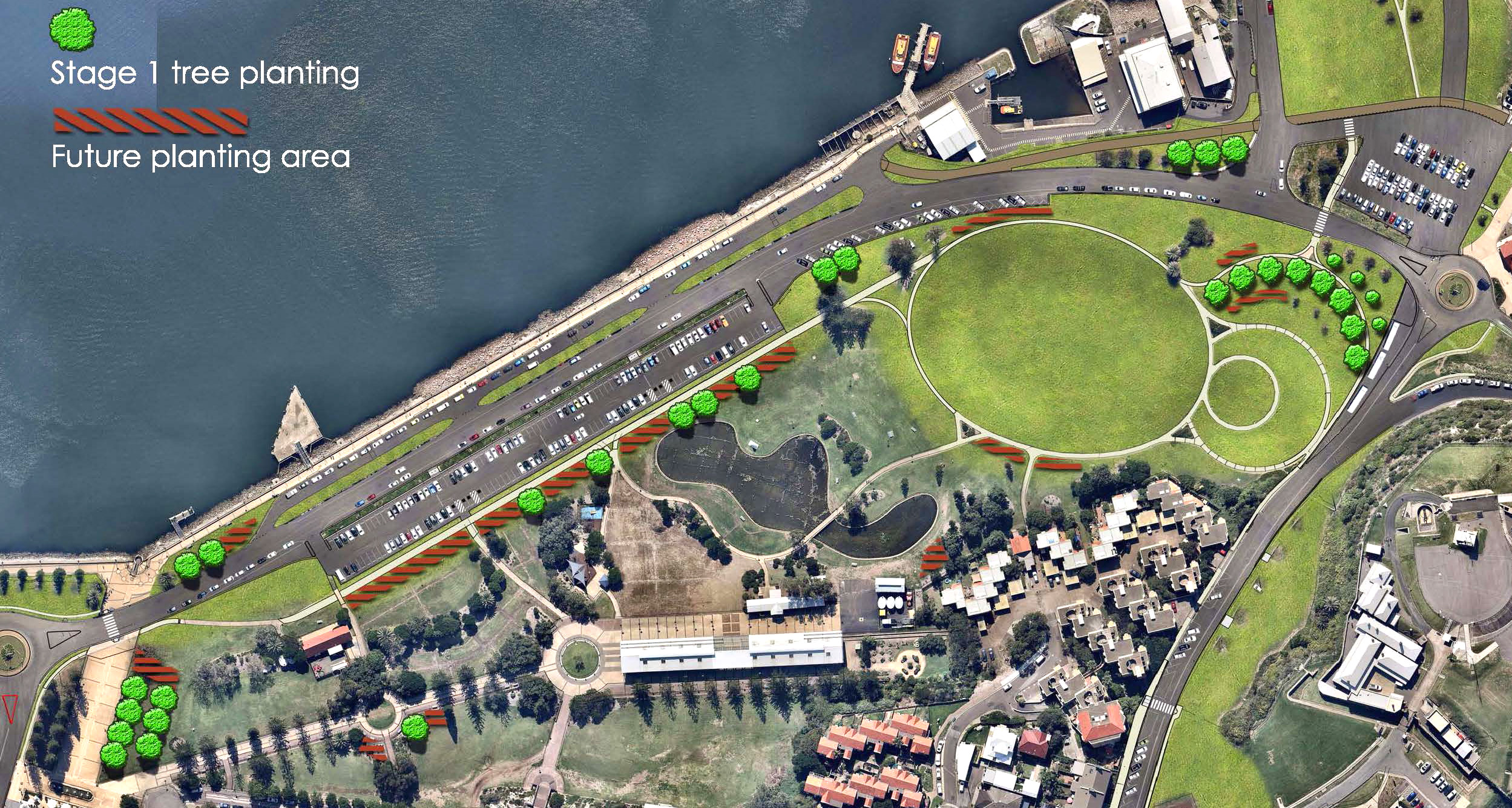
Foreshore Precinct Plan
A Harbour Foreshore Masterplan (Masterplan) has been prepared to reflect the changing needs of the community and to guide the precinct's future use as Newcastle's major regional event space. The replanting program now underway has been tailored to align with this plan. Find out more about our work to deliver the vision of the Masterplan on our project page.