
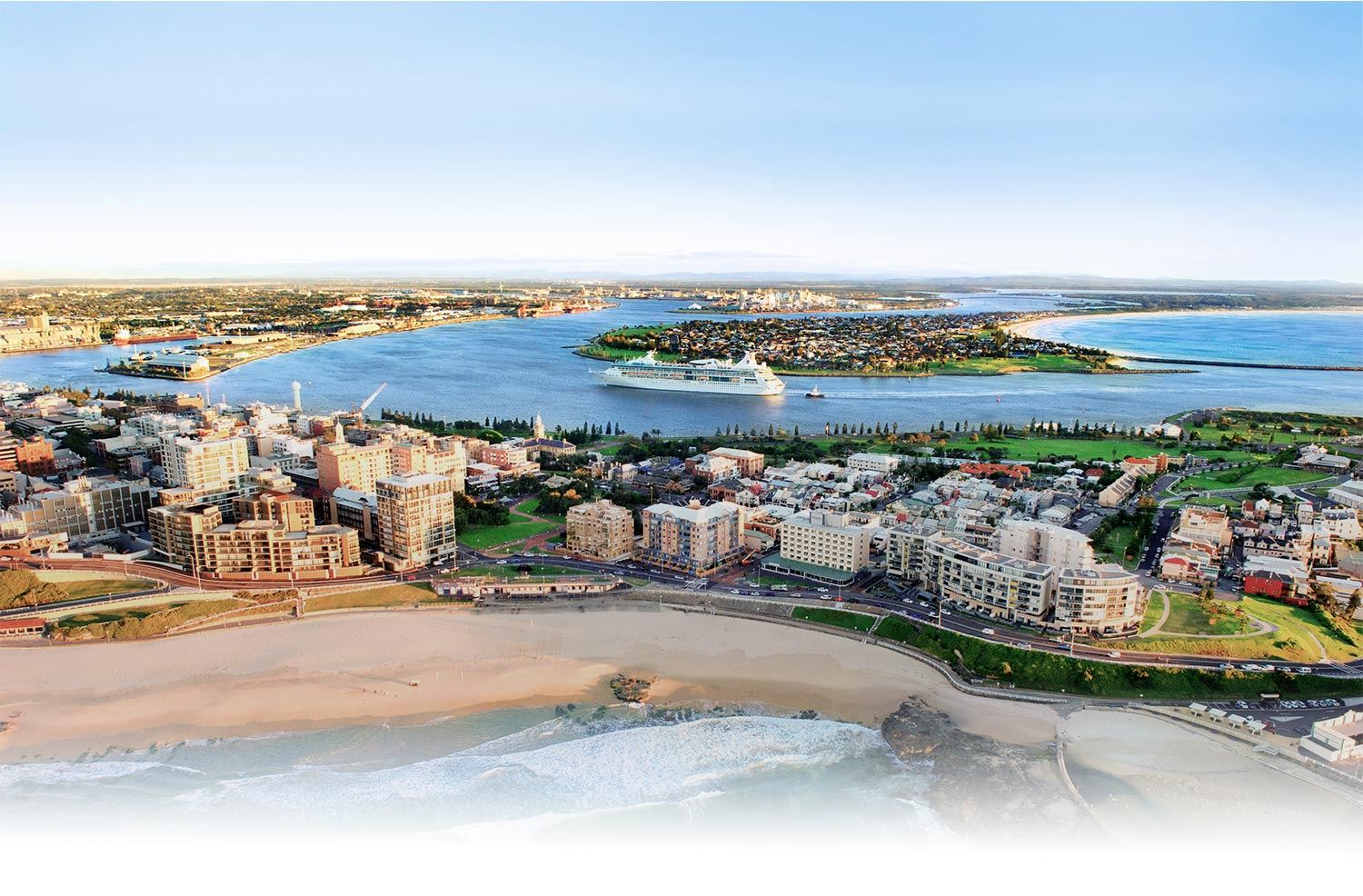
Walking and Mobility Plan
Prioritising pedestrians is an important objective for liveable, sustainable, and inclusive cities. City of Newcastle recognises the importance of increasing the number of people walking (or partaking in other pedestrian activity) and improving the experience and safety of pedestrians across the city.
With this in mind, we are developing a new approach to addressing the barriers to walking and other pedestrian activity with a comprehensive pedestrian plan.
A key component of this plan is the Principal Pedestrian Network (PPN) - a map of routes which support pedestrian trips into and around key destinations such as activity centres, schools, and transport nodes. This will be combined with a range of other local insights to guide the identification, prioritisation, and development of pedestrian projects across the city.
To ensure the pedestrian plan reflects the community's attitudes, and considers their experiences and needs, there will be a number of opportunities for you to provide feedback:
- Pedestrian survey – a preliminary survey to understand your current walking (or other pedestrian) activity, barriers and what would encourage you to walk more. This was conducted in 2022, and you can now read about the results here.
- Interactive storymap – to introduce and improve the draft principal pedestrian network with insights from the community. Thanks for having your say, we're currently reviewing your feedback and will report back soon.
- Public Exhibition of the draft Walking and Mobility Plan – an opportunity to refine our strategic direction for pedestrian projects in the city with your input. The draft document will be placed on public exhibition later this year.
The city's pedestrian network is not only for people who walk, but also for people on mobility devices, such as wheelchairs and mobility scooters, and for people skating, scooting and children riding bicycles (plus accompanying adults). Even people who drive cars or catch public transport are often pedestrians for the last leg of their journey from the vehicle to their destination and bicycle riders often share infrastructure with pedestrians e.g. shared paths.
Therefore, everyone has important insights for this Walking and Mobility plan, and we encourage you to register your interest in receiving updates on the Plan by clicking 'Submit' below (you will only receive emails regarding community consultation activities).
Frequently asked questions
The answer to this isn't as simple as you might think. It's not just people walking along a street.
By simplifying the Australian Road Rules and the NSW Road User Handbook, pedestrians include:
- A person walking or jogging (hopping, skipping, crawling and any way of moving without a device or vehicle to assist you will also make you a pedestrian)
- A person in or pushing a non-motorised or motorised wheelchair, or mobility scooter (that can't travel over 10km/h)
- A person using a device built to transport a person, propelled by human power and/or gravity such as rollerblades, rollerskates, a skateboard, scooter, or similar wheeled device (note it doesn't include bikes)
- A child (up to 12 years) on or in a trike, a pedal car or similar toy (you would also be a pedestrian if you were a child in a pram or being carried)
You are only a pedestrian when you are moving through public spaces. When you are walking around your home, running around a sports field, or stepping onto a treadmill, you are no longer a pedestrian.
And don't forget there are people who legally use our pedestrian infrastructure who are not pedestrians, including people under 16 riding bikes (and accompanying adults) and other cyclists on shared paths.
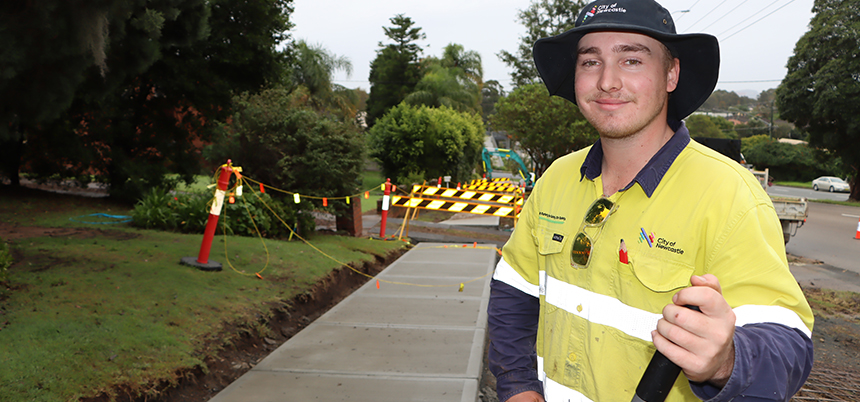
Pedestrian infrastructure is all the infrastructure that allows pedestrians to move around the city. This includes pedestrians with different accessibility, priority, and safety requirements. Pedestrian infrastructure includes:
- Paths – footpaths and shared paths, kerbs, pedestrian bridges, stairs, and fencing
- Crossing facilities – signalised crossings, pedestrian crossings, children's crossings, refuges, kerb extensions and continuous footpaths
- Accessible infrastructure – kerb ramps, other ramps, elevators, tactile ground surface indicators and audio tactiles
- Shared zones – where all road users share a space with a speed limit of 10km/h
Lighting, seating, bubblers, tree planting and other amenities play a supporting role and should be considered when developing pedestrian infrastructure but aren't pedestrian infrastructure themselves.
The Principal Pedestrian Network (PPN) shows the routes that would be frequently used (more frequent in red) to get to key destinations (e.g. Wallsend South Public School in the map) by people taking the shortest path from home.

The first step in developing the PPN required the mapping of:
-
The paths people can take throughout our city (largely based on the road network, with other paths included)
-
Residential locations
-
Key destinations – schools, local centres, parks and playgrounds and others
By estimating the distance people are willing to walk to various destinations, shortest paths were considered for all people within that "walkable" distance and mapped. The number of trips that would pass a segment of path, based on these shortest paths, were then calculated, and coded on the map with a colour.
This will give an indication of where paths are, or could be, well used if they had good quality pedestrian infrastructure. It should be noted that this is only one tool within the planning process. Local insights and understanding of the needs of potential pedestrians play a key role in interpreting the PPN and guiding new infrastructure works.
There will be a public-facing map which will include the PPN, along with features to facilitate pedestrian activity, including adaptable wayfinding tools, which will develop routes based on different accessibility requirements.
City of Newcastle is taking a holistic approach to inclusive access for the pedestrian network. We are keen for input from people with varying accessibility needs during the community consultation.
We will not only build the accessibility requirements into new infrastructure, but also consider other ways that we can facilitate and inform all potential pedestrians. This includes better mapping tools for the community that can identify the best path given different needs (such as no steep gradients or only priority crossings).
Until recently, all proposals for pedestrian facilities such as footpaths, pedestrian refuges, and pedestrian crossings, were scored and ranked, based on consideration of:
- type of development in the area (for example, schools, shopping centres, sporting venues, parks)
- traffic parameters, such as traffic volume, speed and road classification
- safety (accident history, footway condition)
- facility benefits (potential users - children, elderly, disabled)
- continuity of route (addition or link to existing facility).
The scoring was undertaken irrespective of whether the proposal was initiated by the community or identified internally through a local area traffic management study, a public domain plan, or another means.
The ranked listing of pedestrian projects has been the basis for the Pedestrian Access and Mobility Plan (PAMP) Program, a component of City of Newcastle's Capital Works Program. Consideration of efficiency and strategic gains through co-construction of facilities as well as grant funding opportunities and program budget guidelines also influenced the program. Recent requests have not been rated, in anticipation of the PPN.
| Register to stay up to date: | |